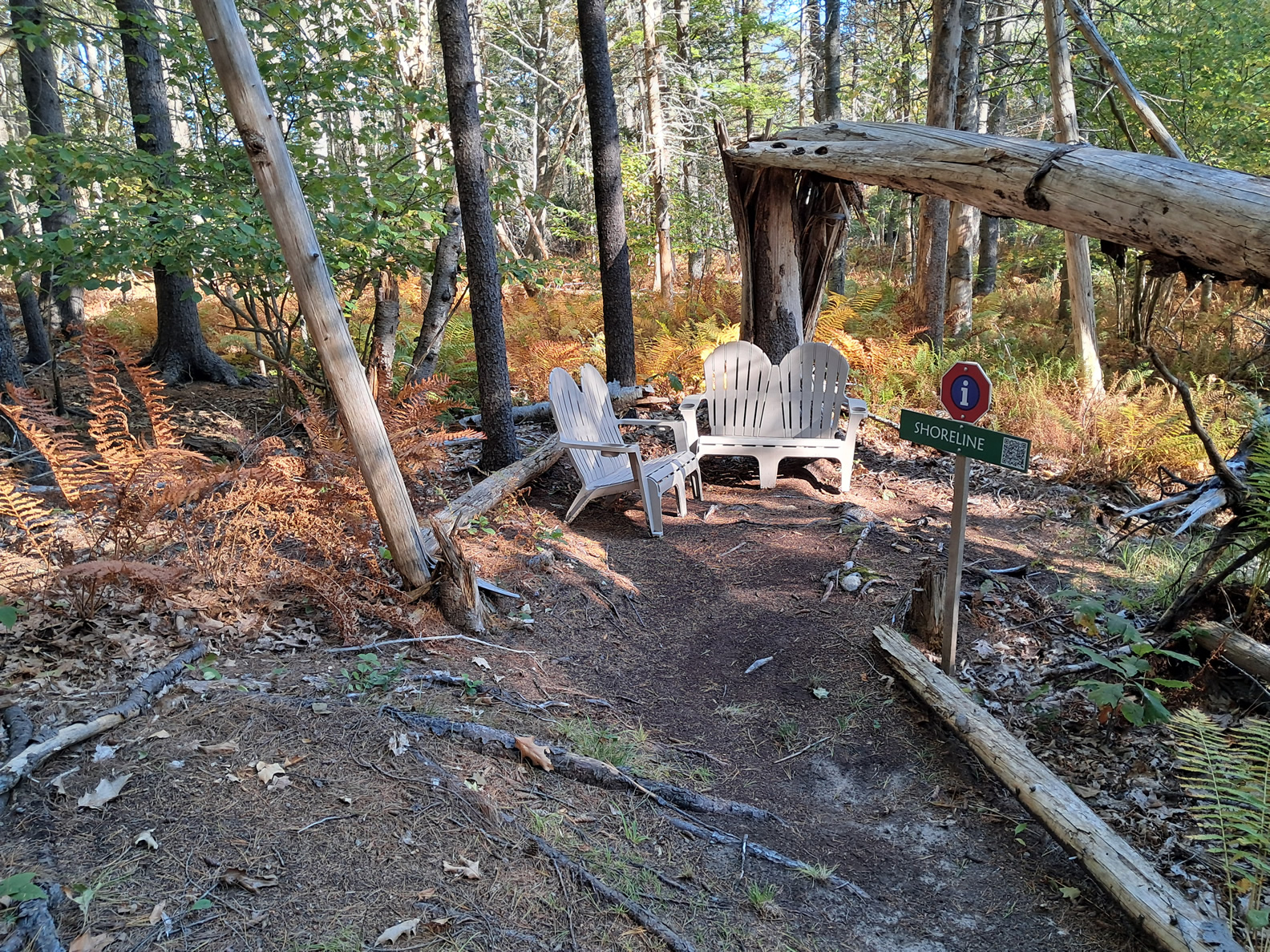
Shoreline
New 1-Minute Video Script
Stand here and imagine waves once breaking at your feet. About 13 000 years ago, this slope may have formed part of a shoreline along a glacial sea that covered much of Maine as the Laurentide Ice Sheet melted. The land beneath us was still rebounding from the enormous weight of the ice, slowly rising as the sea withdrew.
The clay and sand beneath this layer of forest soil hint at what might once have been a coastal bluff. As waves pounded against the newly exposed land, they shaped this slope much like a modern shoreline.
Occasionally, bits of marine clay or shell fragments appear in places like this—reminders that these quiet woods were once beneath salt water. During the Younger Dryas cooling, melting slowed and sea levels paused, leaving terraces and clues like this behind.
Pause a moment and picture the ancient coast stretching away to the south—Maine just beginning to emerge from the Ice Age.
Shoreline
The Timeline of Glacial Melting and Sea Levels
When the ice sheet reached its maximum extents around 25,000 years ago, you could walk directly to Nova Scotia across the ice sheet that covered the Gulf of Maine. When the glacier finally retreated about 14,000 years ago, the sea flooded the interior of Maine submerging areas that are 300 feet above today’s sea level. In a process called isostatic rebound, over the the next ~1,000 years the sea retreated enough so that islands began appearing at the start of this trail, 222 feet above current sea levels. It took another ~1,000 years for the shoreline to drop to this spot (elevation – 166 feet). During this time, sea levels were also rising from the injection of water from the melting glacier, but not nearly as fast as the land was rebounding. Massive amounts of water was still locked in ice. Land extended unto the Gulf of Maine. Artifacts left by proto-indians have even been found on the ocean floor.

The Younger Dryas Cooling Period
Further complicating things, a cooling period from about 12,900 to 11,700 years ago, caused the glaciers to briefly advance. Since Maine was mostly ice-free by this time the rebound continued while rising sea levels slowed.
Crowd Sourcing: Your Thoughts
We welcome your insights. Please complete this form with your ideas. This will help use improve our educational mission!

Shoreline Fossil Project:
Blah bLAH
Please support all our projects with a donation! All funds will be used to support volunteers and our educational mission.